
———————————————————————————————————
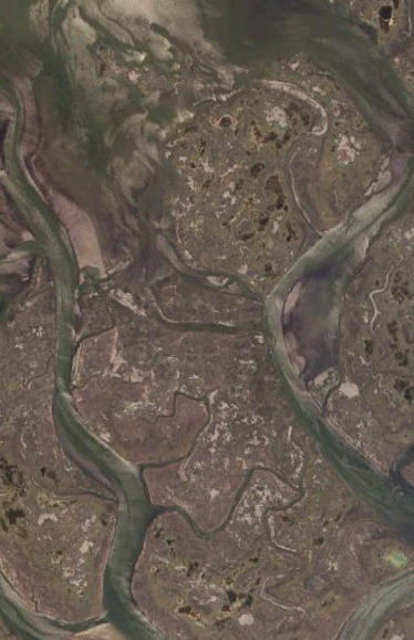
A snapshot of what the southern NJ back bays look like from a satellite:
What they look like to a bayman:
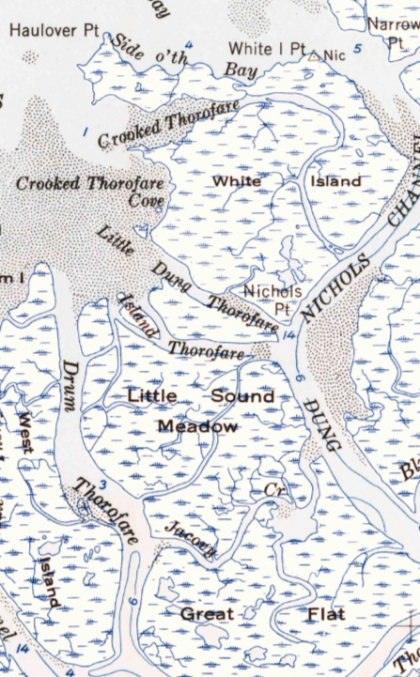
The back bays and salt marshes of the Jersey shore are a labyrinth of waterways and expanses of tidal marsh.
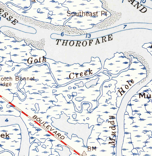
Today’s USGS topomaps describe the meanders of these creeks, mark larger bodies of water called sounds, and depict salt marsh islands. Surprisingly, these features are also densely labeled with place names. See for yourself via this link.
In these modern times, it is difficult to imagine how so many names of points, flats, sloughs, and meadows made their way onto the USGS topomaps.
Back bays are now just part of the shore scenery. Their beauty is most often appreciated from a distance, as cars cross causeways to barrier islands or as boats make their way through the intracoastal waterway.
There seems to be little need for such a density of named places, almost equivalent to a street map, with every avenue and intersection given a name.
But there was a time when marshes were not just an aesthetic resource. They were a source of a subsistence and income, when baymen sought crabs, clams, oysters, scallops, fish, and waterfowl. During this time, these waters were busy with commerce every day, not only during the warmer months, but throughout the year.
Back then, there was a much greater need to have a common language for navigating around these marshes and sharing stories about the joys and travails of living off the back bay’s bounty.
In a report from the American Folklife Center that documented NJ Pine Barrens lore, Ed Hazelton, a bayman from the Barnegat Bay put it this way:
Down through the years, going back a couple hundred years, the old timers, they knew where the ducks were travelling, on what winds. So they passed the word on to me. They said, “Ed, when the wind’s southeast, you want to gun such-and-such a point. Now when the wind’s northwest, you wan to gun such-and-such a point. The ducks’ll be travellin’ there. The wind’ll be pushin’ them over. It’s gonna make them play over. You want to be there tomorrow.”…It’s hard to put into a words in a few minutes what you’ve learned in a lifetime or somebody else’s lifetime too.
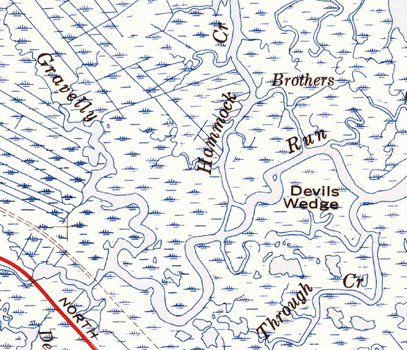
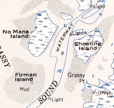
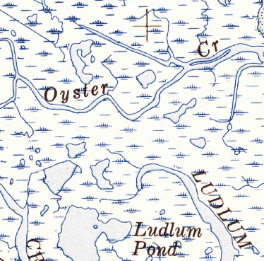
Names on maps hint at stories, and at the people who were a part of them. Some places are named after people, like Jenkin’s Sound or Ludlum Pond, while others are descriptive of the place or how it was used, like Gravelly Run, Shooting Island, or Back o’ th’ Sound. But we can only guess at the meaning of many other names, like Goth Creek, Dung Thorofare, and the Devil’s Wedge.
Many of the names also remind us of how the natural world of these marshes has changed.
Sturgeon Hole? It has been a long time since now-endangered sturgeon lurched about these shallow waters.
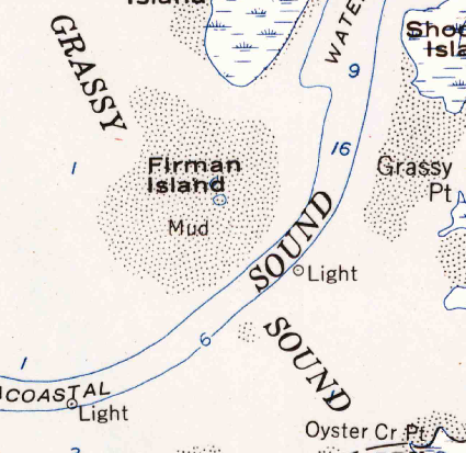
And Grassy Sound? Not so very grassy today because of the decline of eel grass.
Oyster Creek no longer has oysters in it.
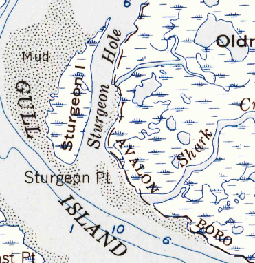
But not everything has changed. For example, Old Turtle Thorofare still has plenty of turtles (diamond-backed terrapins) and Gull Island is still a gull island, harboring one of the largest colonies of nesting laughing gulls in the world.
These names tells us what does and once did abound in these waters. Some of the living resources of back bays have been more resistant to the pollution and overharvesting of the 19th and 20th century than others. Seagrass is mostly gone, bay scallops have gone with the grass and oysters are nearly gone as well. But there are survivors, like blue crabs and hard clams. They made it through the era of pollution and are still resilient enough to sustain a commercial harvest.
For conservation, back bay place names can be a source of inspiration. We can make Grassy Sound grassy again via eel grass restoration. We can restore oysters in Oyster Creek, and we can be reassured by all the place names that are still relevant that speak of such things as terrapins, bluefish, and drum.