Putting Cape May’s oldest map on the map
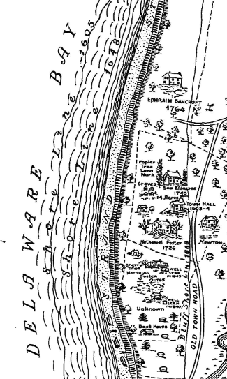
I explore a 1726 map of Town Bank, Cape May County by using GIS to overlay it on modern maps.

Nature and conservation on the coast
I explore a 1726 map of Town Bank, Cape May County by using GIS to overlay it on modern maps.
A remarkable study that was carried out here in New Jersey has helped clear up the question of why there is a higher proportion of juveniles in Cape May.
An account of the return of the willet to New Jersey via ornithological literature. It turns out that the willet was never really gone.
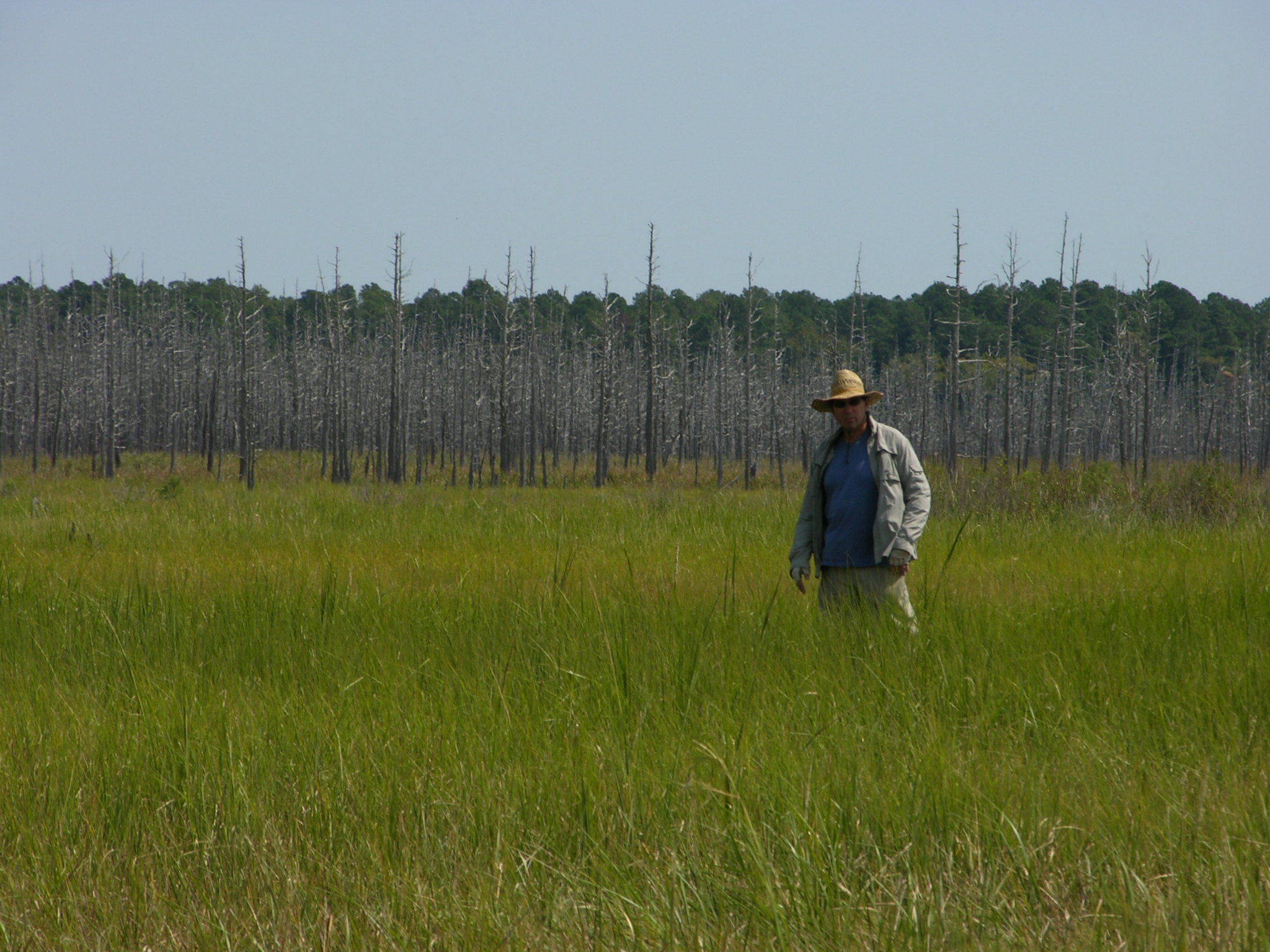
Much news is made about the changes to come to coastal landscapes from sea level rise, but there is less talk about what is already happening.
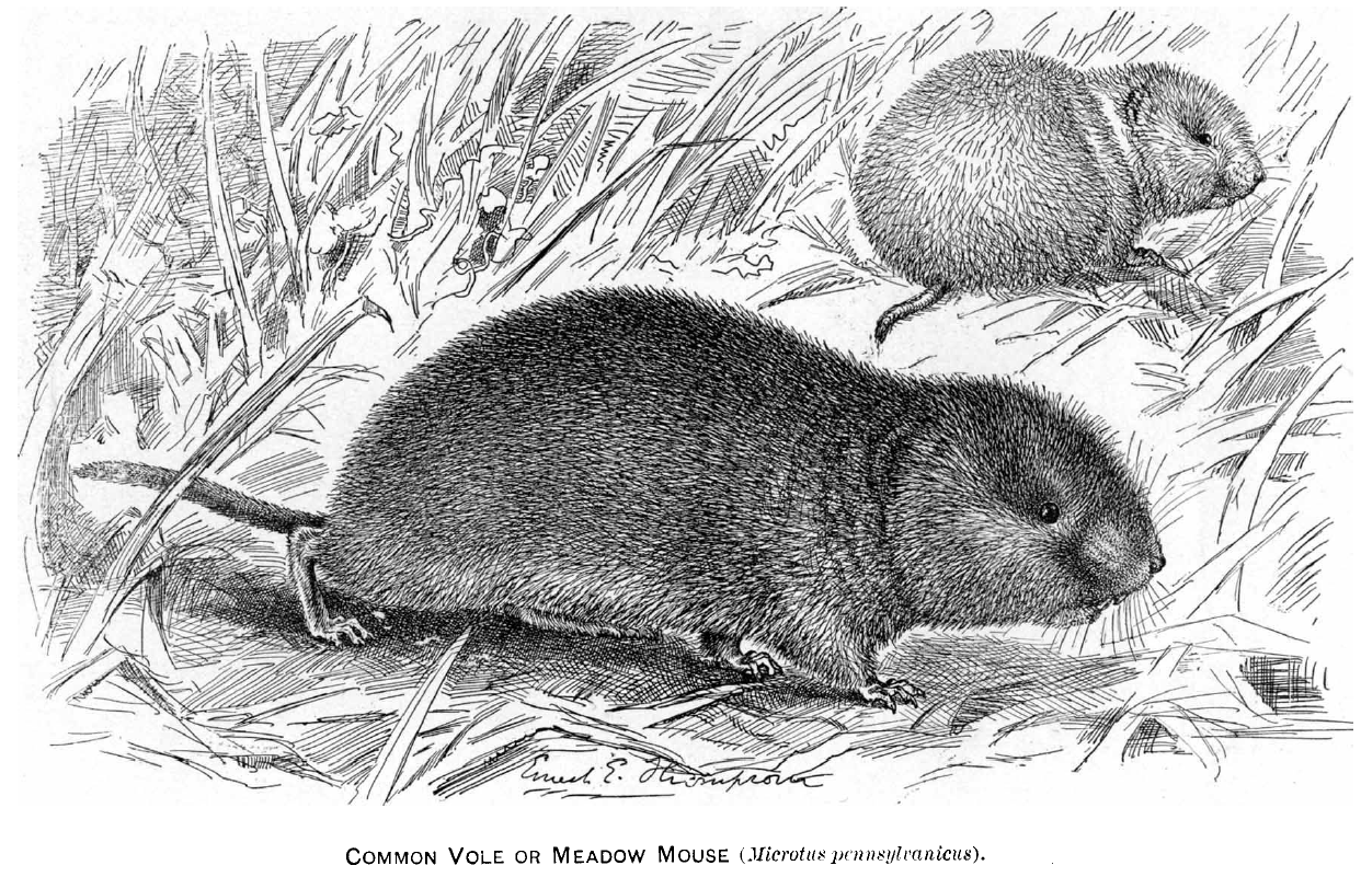
Small mammals of the salt marsh. Fleeting glimpses of mysterious mice, rats, and voles.
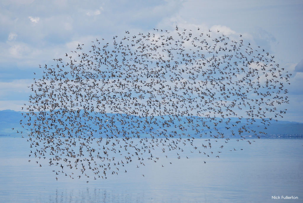
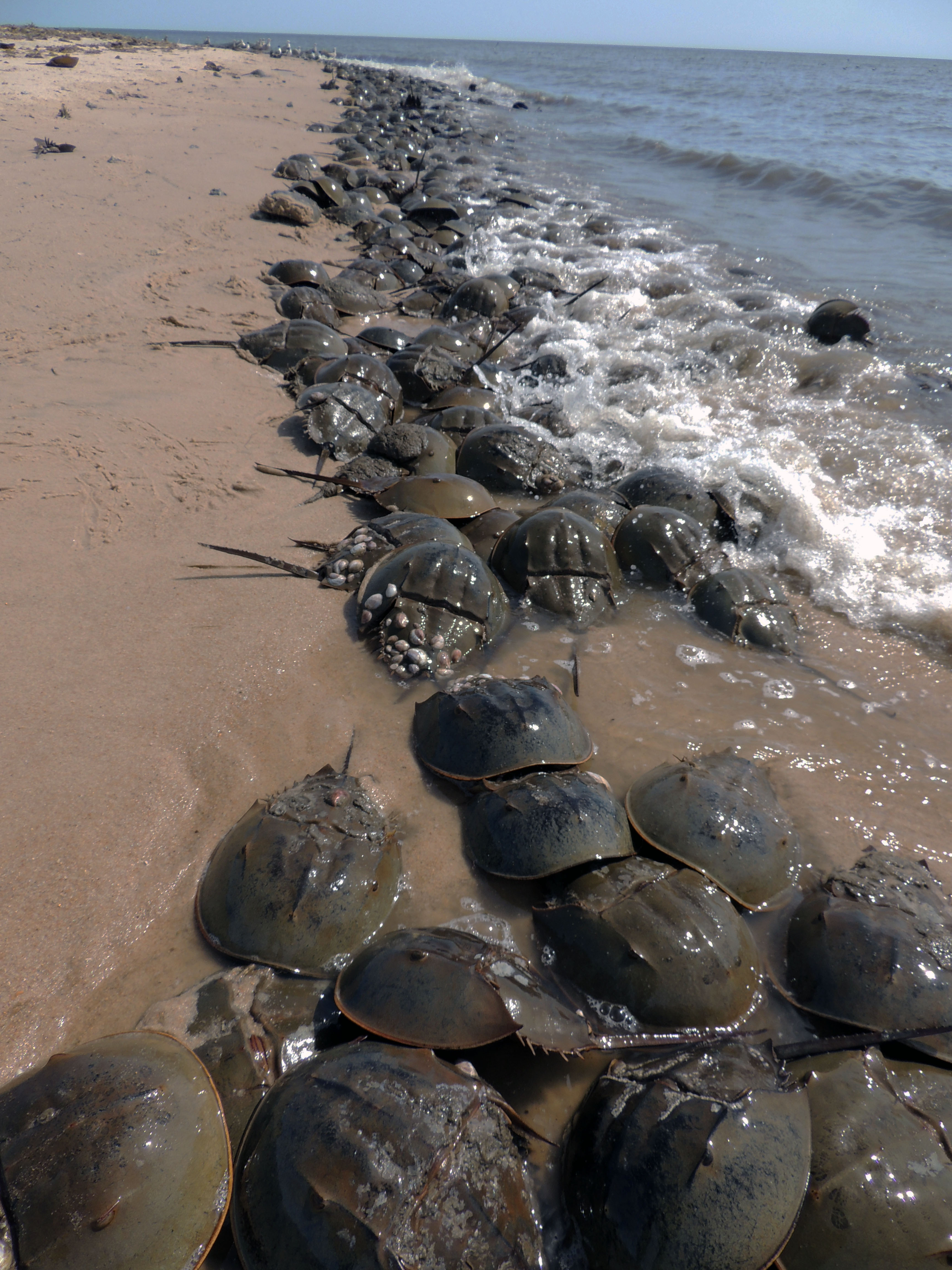
Shorebirds and Horseshoe Crabs on the Delaware Bay.
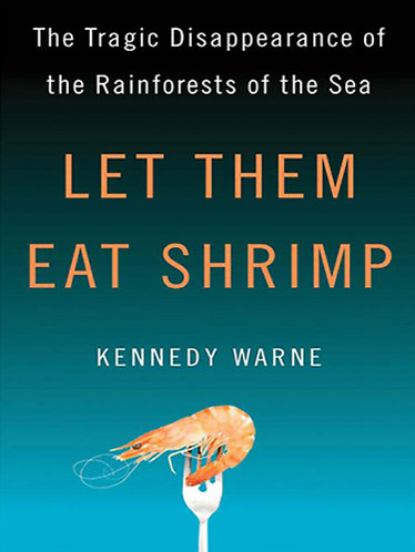
When shrimp farms are constructed, the myriad services mangroves provide are reduced to one: making shrimp. The farms displace people living subsistence lifestyles and displace the many birds, fish, crabs, and shellfish that those people depend upon for their living.
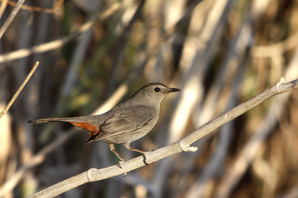
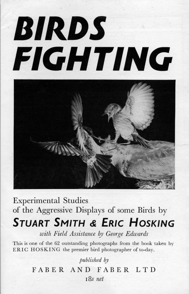
Birds fighting! A book from 1955 that used state-of-the-art photography techniques to catch angry birds in action.
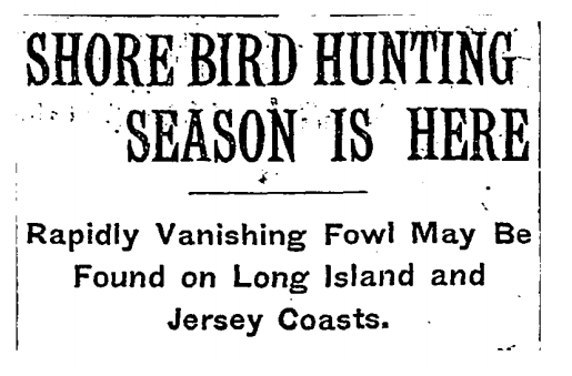
There is a long tradition of shorebird hunting in North America that ended at the beginning of the 20th century when laws were passed that banned killing and selling migratory birds. But elsewhere, hunting is still happening.
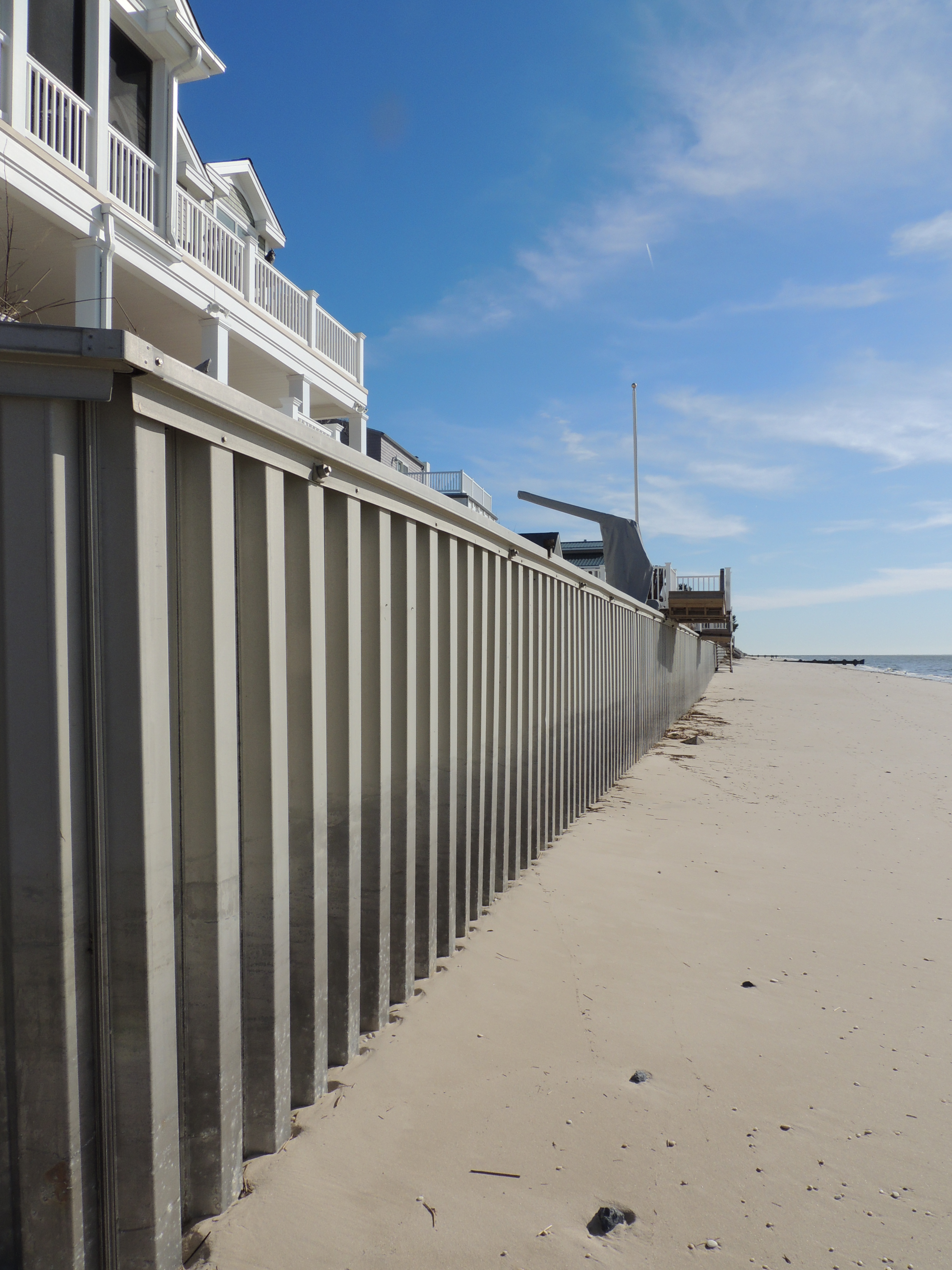
Shoreline armoring on the Delaware Bay will result in less beach for us all.