
I just returned from a conservation research expedition along the northern coast of Brazil. I was part of multi-organization, multinational team tasked with mapping habitat for around eight species of shorebirds. It is a two-year project that aims to generate habitat maps that can be used for conservation planning and the identification of current and future threats to shorebirds in the region.
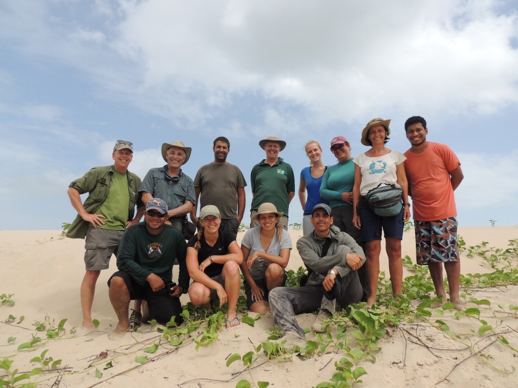
The Team.
Top row: Mark Peck (Royal Ontario Museum), Larry Niles (Niles and Associates), David Santos (Federal University of Manarhao), Humphrey Sitters (Intl Wader Study Group), Carla Barbosa (University of São Paulo), Roberta Rodrigues (Federal University of Pernabuco), Danielle Paludo (Brazil National Center of the Research and Conservation of Wild Birds), Reydson Rafael (Federal University of Pará).
Bottom row: Paulo Siqueira (Guarda Civil Municipal at Prefeitura Municipal de Chapadinha), Stephanie Feigan (Conserve Wildlife Foundation of NJ), Ana Paula Sousa (Federal University of Maranhão, and me.
Not pictured: Rick Lathrop and Dan Merchant from Rutgers University.
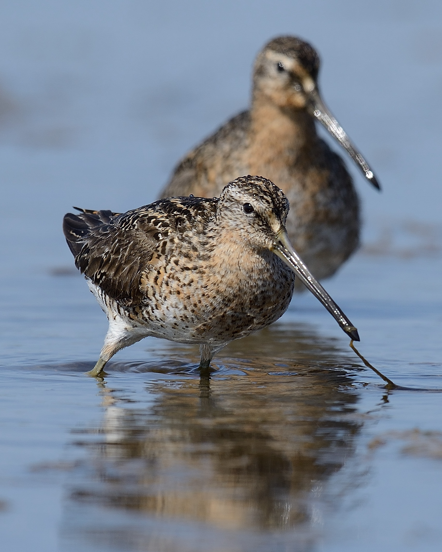
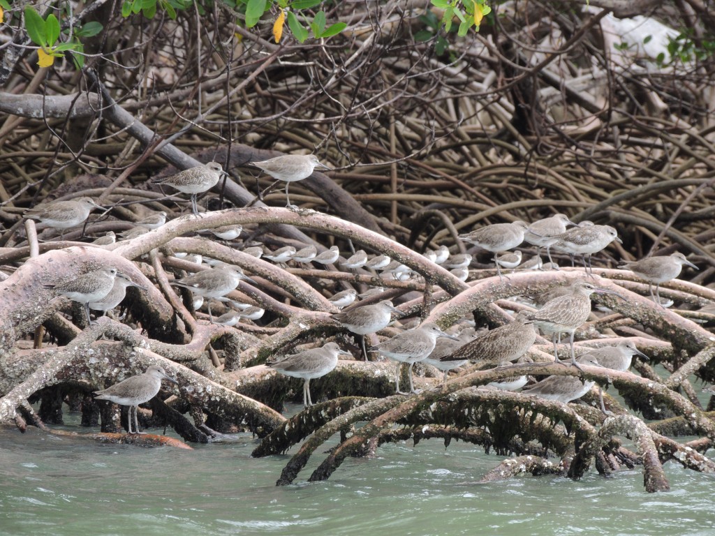
The majority of the flyway’s whimbrel, eastern willet, red knot, ruddy turnstone, short-billed dowitcher and black-bellied plover winter here along a roughly 400 mile coastline. That mean there is a lot at stake if something goes wrong.
Shorebird habitat could potentially be threatened by oil spills, toxic mine run-off, expansion of shrimp aquaculture, industrial fishing expansion or increased tourism and development.
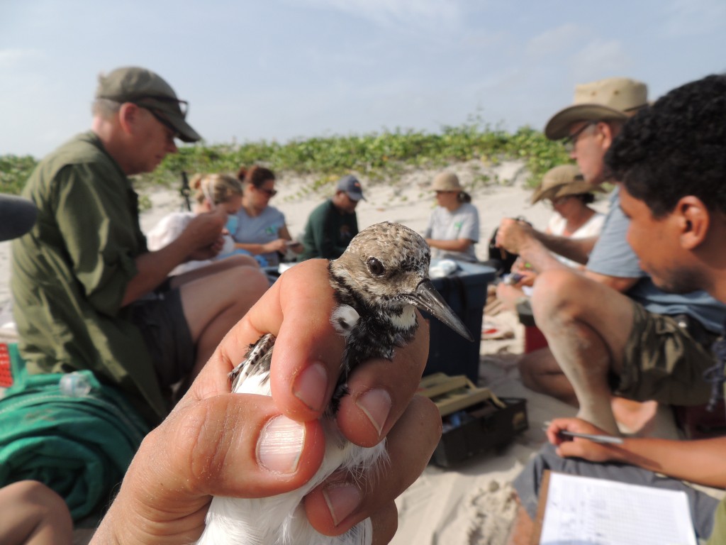
I’ve been on two previous research trips to this region that focused on catching shorebirds. At these times we worked at narrowly-defined study sites, without much opportunity to gain a perspective on the whole ecosystem.
This new iteration of work aims to achieve that perspective through field surveys spread throughout the region, combined with satellite imagery interpretation.
Taken together, this approach will allow us to truly depict the whole region and understand how shorebird habitat is distributed and where the sweet spots are for our range of focal species.
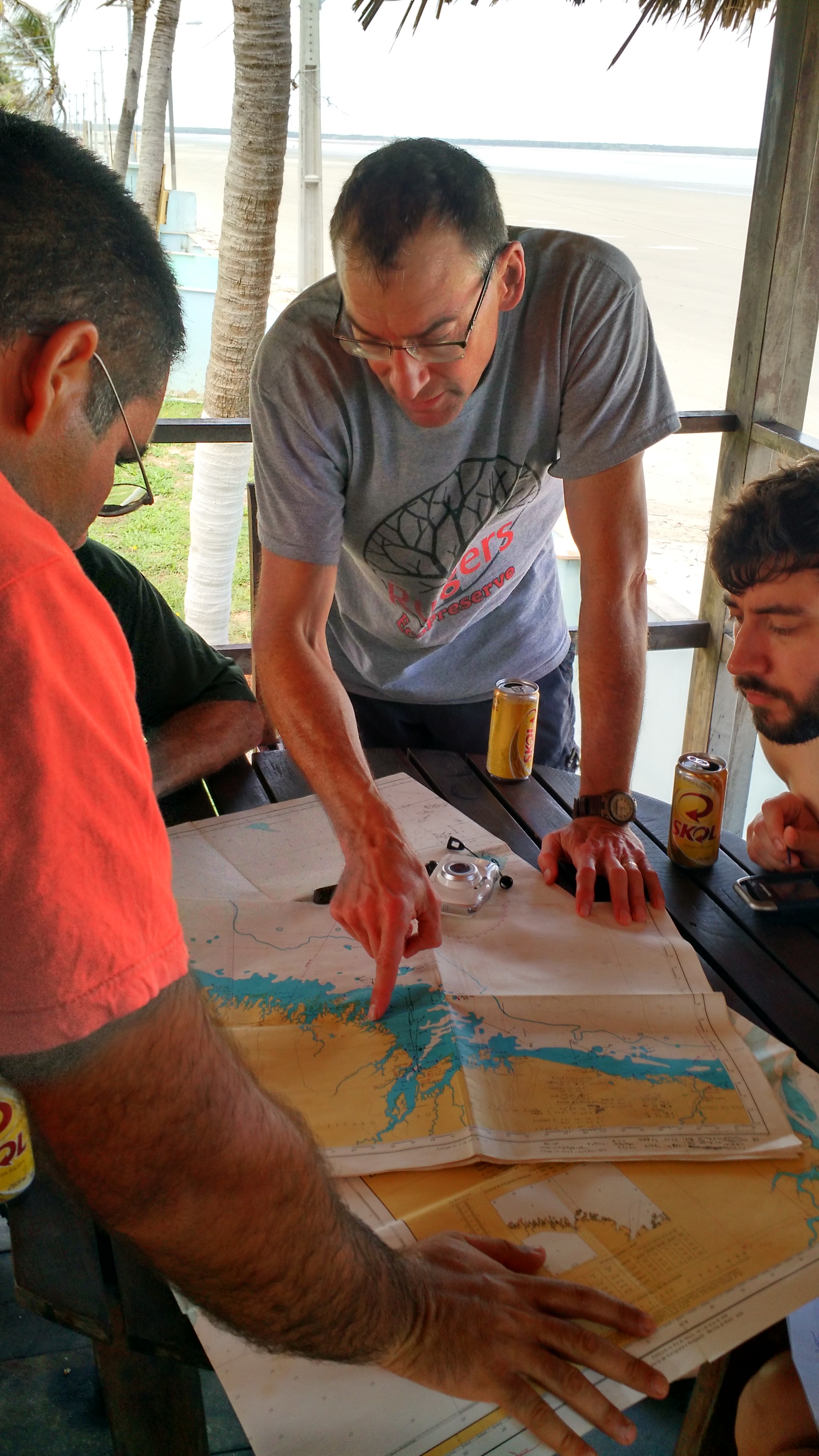
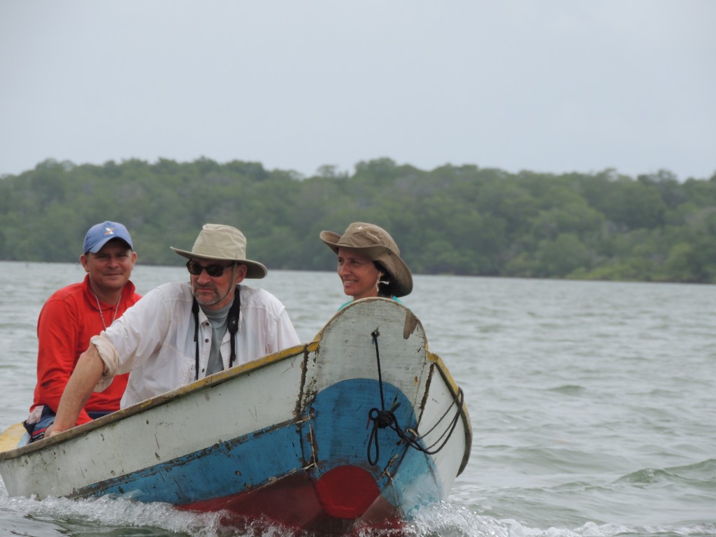
Our initial plan was to hire a boat and captain to explore the coast entirely by sea, but for reasons I will reveal in a later post, we shifted to plan B.
Plan B required moving a 12 person team over land to several disparate fishing ports and then over water to field sites using various combinations of hired fishing and freight boats (and their crews). The goal was to count birds across pre-defined sampling areas and describe the habitat where those birds were feeding and roosting.
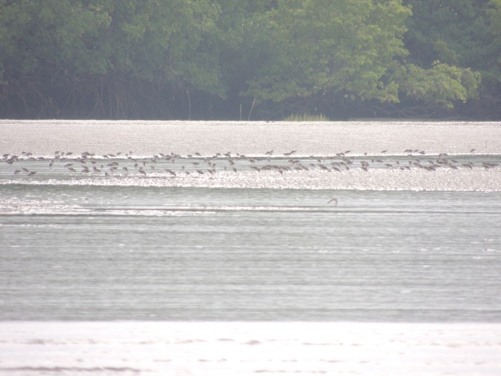
These ground-based data will then ultimately be used in conjunction with imagery to predict habitat and bird distribution in the parts of the coastline that we didn’t sample.
Our approach brought us into close contact with the people living in the region. We stayed in remote fishing villages and shared meals with hosts in the villages and with fishermen on boats.
One of my most memorable meals was a simple fish stew cooked by one of the boat crews as we returned after a long day of surveys. It was made from fish, salt, water and not much else, served with rice and farinha. It was delicious.
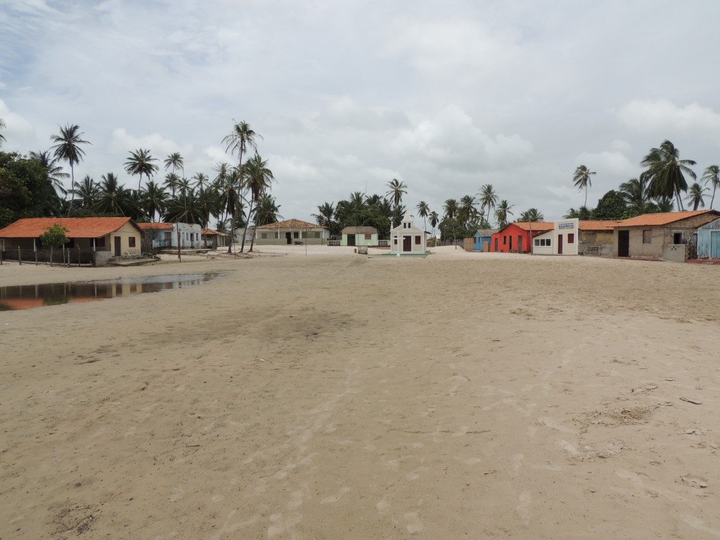
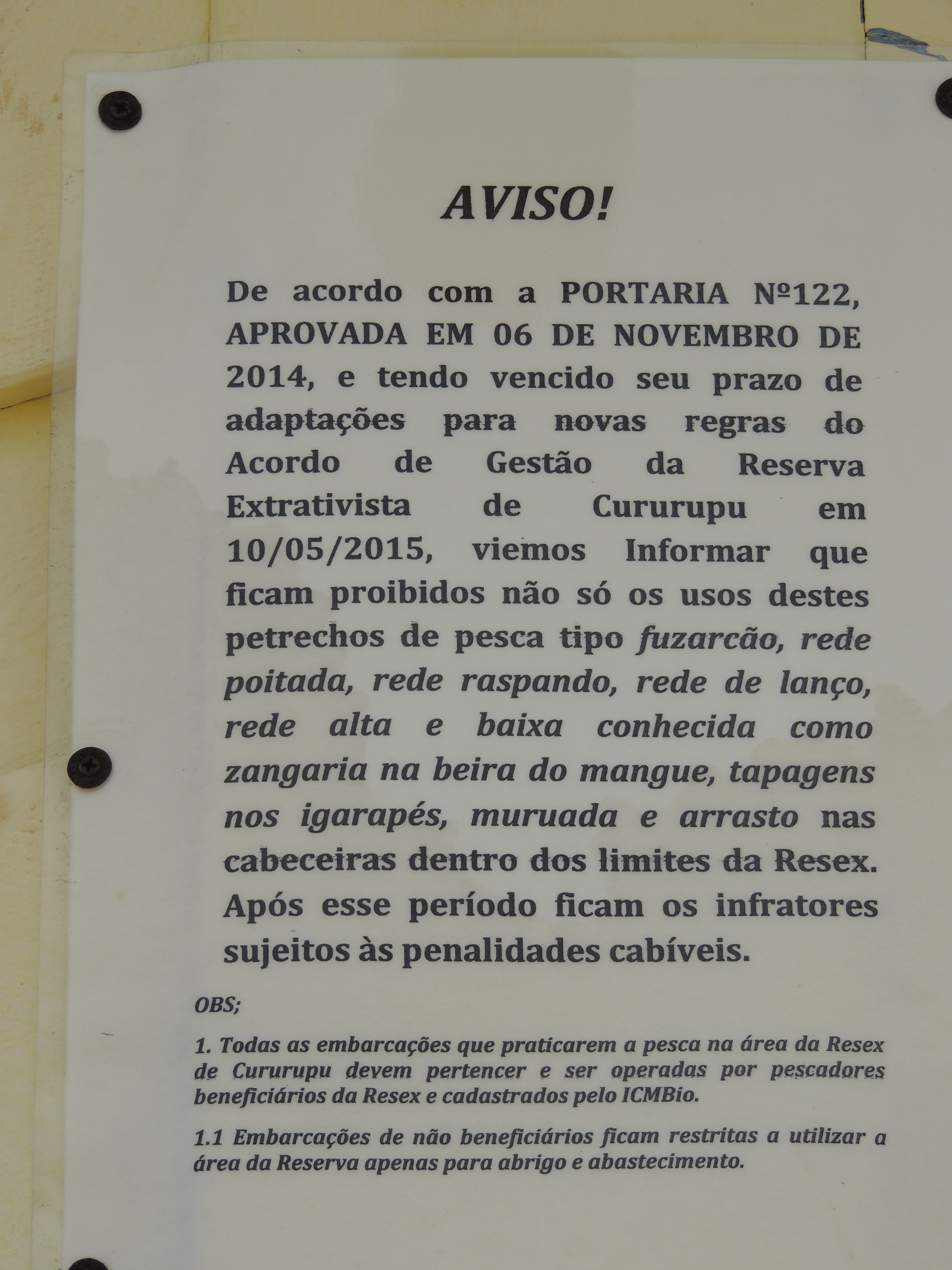
One insight we gained from all of this experience is that the people in places like Peru (the village pictured above) are actively working to conserve the ecosystem and the resources they depend upon. This is because they live within a nationally designated “extractive reserve” that grants exclusive rights for subsistence use by “traditional people” and excludes industrial fishing practices. The fisherman form cooperatives and have developed mutually agreed-upon guidelines for sustainable practices.
A paradox of this Maranhão and Pará coastline is that it is truly a wilderness, a vast functioning coastal ecosystem representing one of the largest single tracts of mangroves in the world and one of the most significant shorebird wintering areas in the western hemisphere…and yet, it is fully populated and utilized by people.
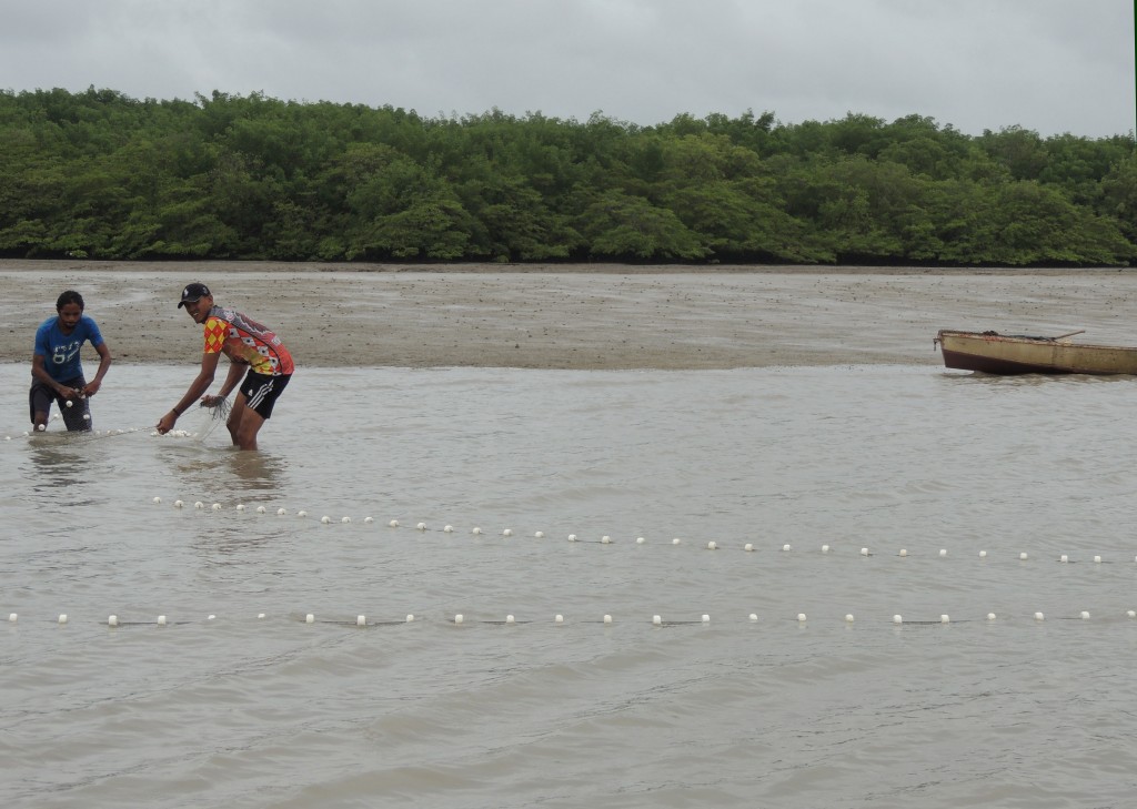
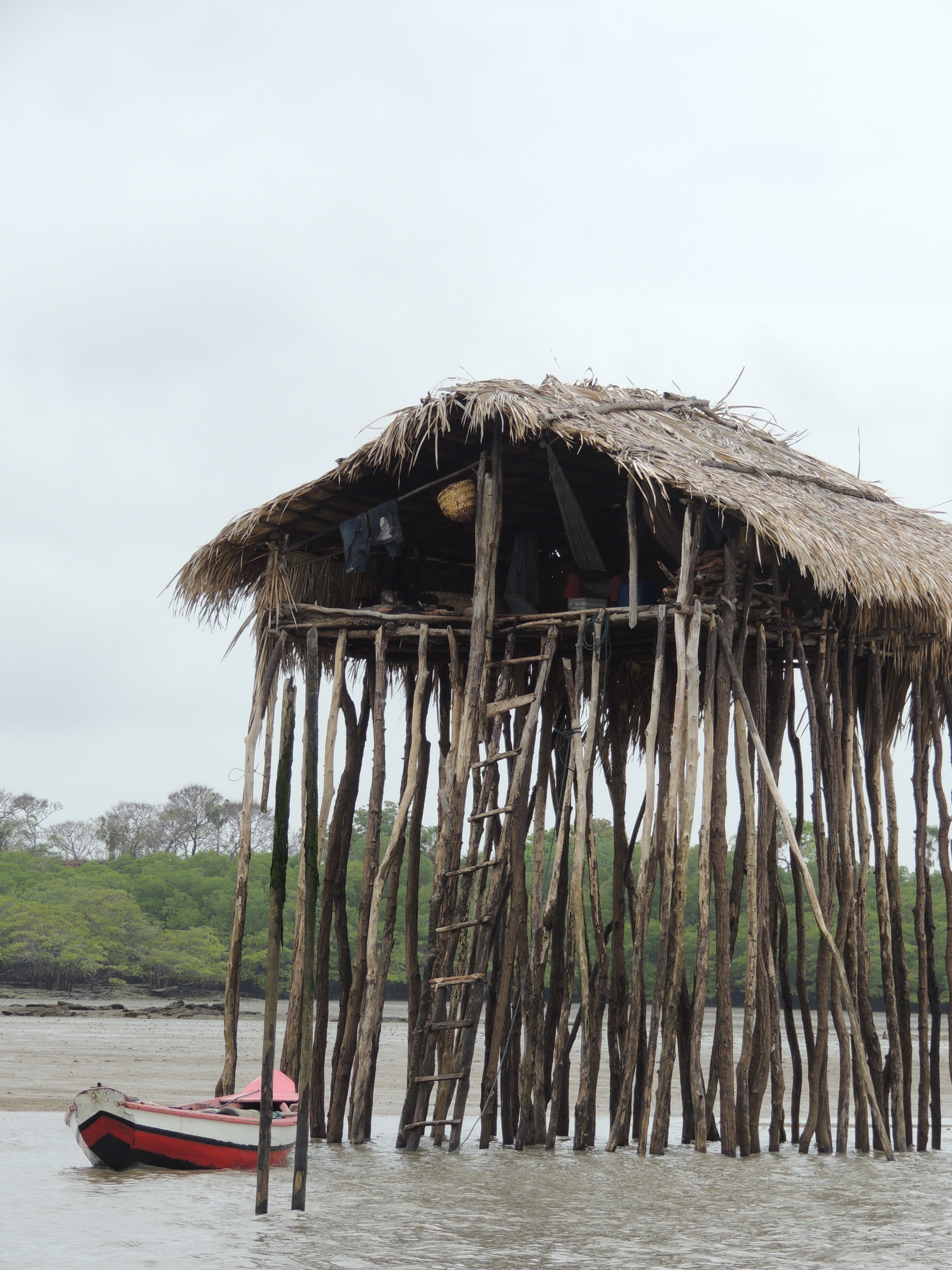
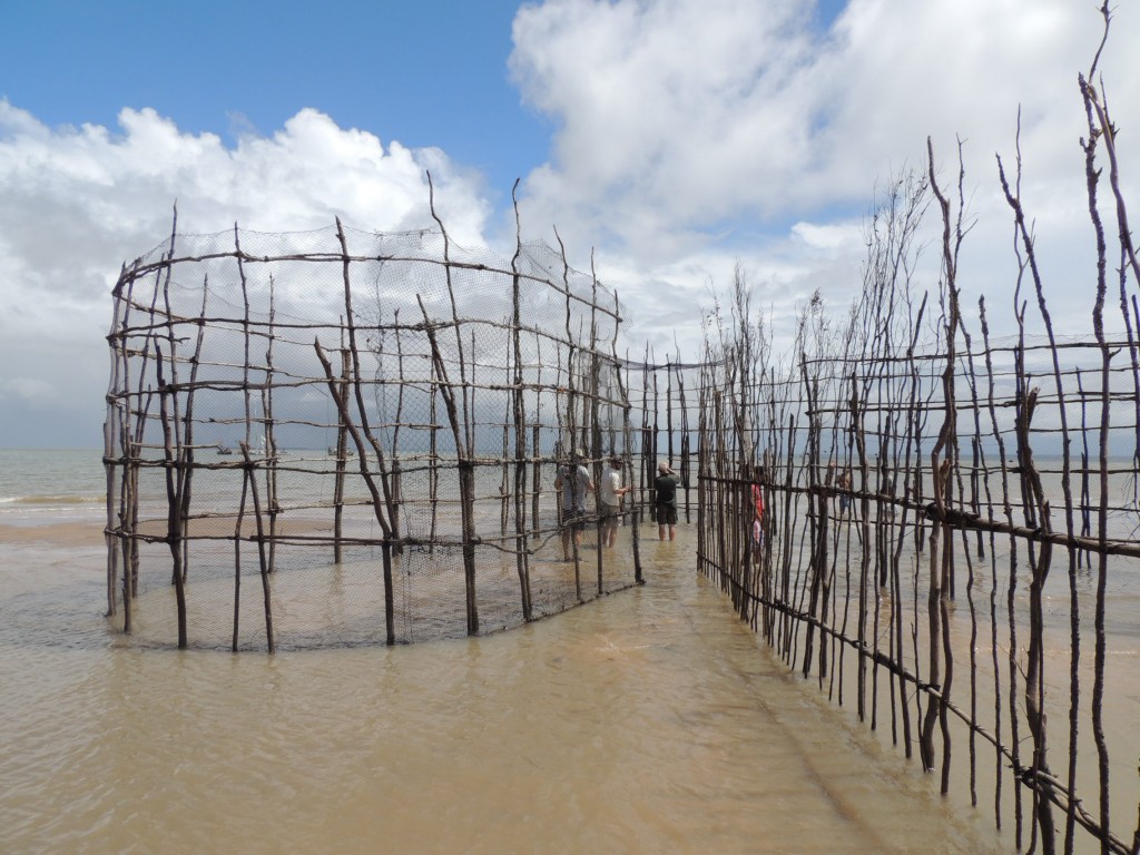
At any point in the trip, as far into the hinterlands as we thought we were, it was difficult to cast a glance without seeing signs of people. Whether is was a boat, a fish trap or a thatch-roofed shelter, there were reminders everywhere that there were people making use of the region’s resources.
It’s difficult to know whether this balance can last. But for now it seems an ideal situation where the interests of the ecosystem and the people living in it are not at odds.
This means that the people living in the region can be strong advocates for conservation and can be allies when conservation threats emerge that both threaten shorebird habitat also threaten these people’s way of life.
Read more about Brazil field work in my posts about previouse trips: